
Kyoto receives tens of millions of visitors a year, and most of them spend their days shoulder to shoulder at the same handful of temples. Almost none of them notice that the city is ringed by a walking trail — roughly 135 kilometers of it — that climbs into the forested mountains rising directly behind those temples. It is called the Kyoto Isshu Trail, the “Kyoto Circuit Trail,” and on a clear November morning you can stand on a summit overlooking the entire ancient capital, hear nothing but wind in the pines, and wonder where everyone went.
The best part: you do not need to walk all of it. The trail is designed to be sliced into day sections, each reachable by city bus or train, each returning you to Kyoto in time for dinner. Here is our guide to the sections we walk again and again — and an honest word on when it pays to bring a guide.
What Is the Kyoto Isshu Trail?
The Isshu Trail is an official signposted route that traces a great arc around Kyoto — south through the Higashiyama hills, north into the cedar forests of Kitayama, and west toward the bamboo groves and river gorges of Arashiyama. It links many of the city’s most famous sights, but approaches them the old way: on foot, over the hills, past the small shrines and mountain hamlets that tour buses cannot reach.
Numbered signposts mark the way at regular intervals, and sections range from gentle temple-to-temple strolls to proper mountain walking with sustained climbs. You can join or leave the trail at dozens of points. That flexibility is exactly why we recommend it to travelers who want to “earn” their Kyoto — a morning in the hills makes an afternoon among the temples feel entirely different.
The East: Fushimi Inari to Fukakusa — Ten Thousand Gates, Then Silence
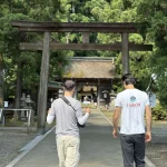
The trail’s southern trailhead begins at the most photographed place in Japan: the vermilion torii tunnels of Fushimi Inari Taisha. Walk the gates with the crowds as far as the Yotsutsuji viewpoint — then keep going. Within minutes of leaving the shrine’s upper paths, the selfie sticks vanish. The route slips into bamboo groves, past hillside cemeteries and quiet neighborhood shrines in Fukakusa where the only sound is a bamboo deer-scarer knocking against stone.
Fushimi Inari is famous for the Senbon Torii — the seemingly endless corridors of red gates that have become one of Japan’s most crowded, most photographed spots, a byword for the tourist crush. But the real reward of the trail is to walk past them and up Inari-yama itself. At 233 meters it is not a high mountain. Yet the whole hill is an object of Inari worship, studded with vermilion gates and stone foxes at every turn — one of Japan’s great sacred mountains, and a place to feel the country’s spiritual life up close.
This is the section we recommend most to first-timers, because it teaches the trail’s central lesson in a single walk. From the famous Fushimi Inari Taisha, up through the Senbon Torii and over the sacred slopes of Inari-yama, you set your sights on somewhere even more famous: Kiyomizu-dera. Linking two of Kyoto’s great icons on foot is the real pleasure of this route. There are stretches of asphalt and cut-throughs of residential streets along the way — and it is still well worth the walk.
In Kyoto, the crowds are only a curtain. Turn toward the gentle low mountains that ring the city, step through to the other side, and the old capital is still there, exactly as it always was.
Fushimi Inari Station to Kiyomizu-dera — 9 km, about 4 hours, 360 m of ascent. We walk this route in detail here:
The Classic: Mt. Daimonji — Kyoto’s Grandstand
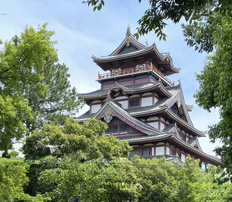
Every August, a giant character for “great” (大) is set ablaze on a mountainside above Ginkaku-ji to send ancestral spirits home. The rest of the year, you can climb to that same fire bed in about an hour from the Silver Pavilion’s gate — and be rewarded with the single best view of Kyoto there is: the city grid laid out like a map, the Kamo River stitching it together, and on clear days the hills of Osaka on the horizon.
It is a short, honest climb — steep enough in places to feel like a hike, short enough to bring anyone who can manage a long staircase. Sunset ascents are special, but bring a headlamp for the way down.
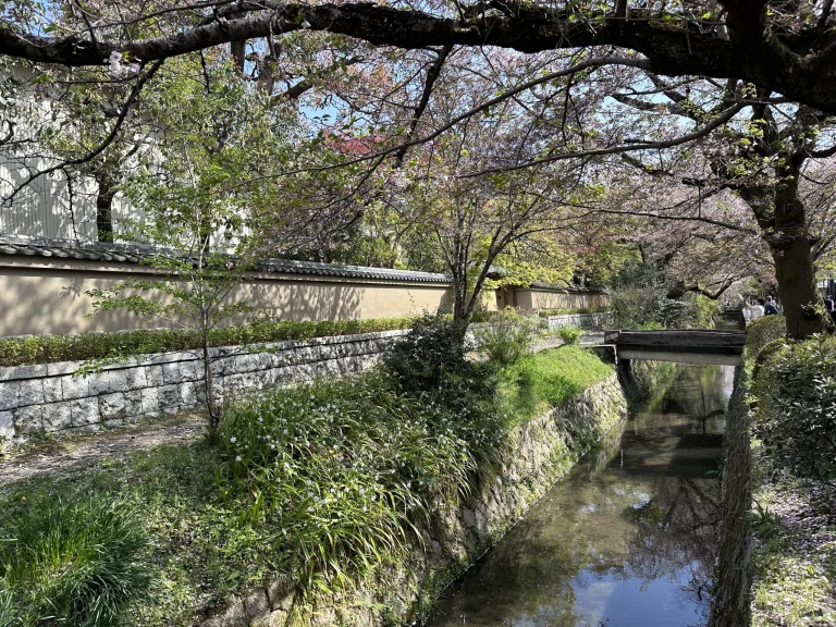
There is also a longer loop we love: from Keage Station through Nanzen-ji, up Mt. Daimonji, down to Ginkaku-ji, along the Philosopher’s Path, and back by way of Nanzen-ji to Heian Jingu. The Philosopher’s Path is a lovely, quiet canalside walk, made for strolling.
Keage Station to Heian Jingu — 11 km, about 5 hours, 450 m of ascent. Our full account of this climb is here:
The North: Kurama and the Mountain of the Tengu
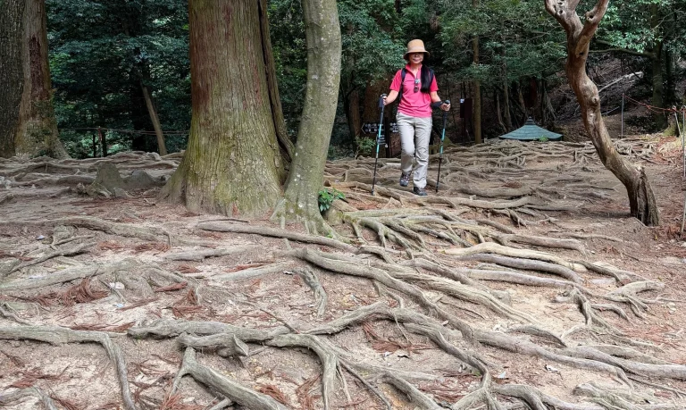
Ride the little Eizan railway thirty minutes north of the city center and Kyoto changes character entirely. Kurama is mountain country — the realm of the tengu, the long-nosed goblin-priests of Japanese legend, and of Kurama-dera, a temple perched high on the hillside where the warrior Yoshitsune is said to have trained as a boy. The traverse over the ridge to the riverside shrine village of Kibune is the most atmospheric half-day in the Kyoto hills: cedar roots braided across the path, mossy shrines, and the feeling of having left the century behind.
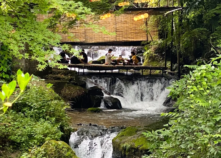
From Kurama-dera’s Nio-mon gate to the main hall of Kompon Chudo, along the famous Kinone-michi “tree-root path,” past the inner sanctuary of Maoden and down into Kibune, the reward waiting at the bottom is the kawadoko — dining platforms set out over the cold river. It is about the best prize a hike can offer.
We wrote about this walk — and its resident goblins — in detail here. Kurama to Kibune — 2.5 km, 1–2 hours, 250 m of ascent:
Choosing Your Section
| Section | Access | Walking time | Highlights | Difficulty |
|---|---|---|---|---|
| Fushimi Inari → Kiyomizu-dera | JR/Keihan to Inari Station, 5–10 min from Kyoto Station | Half a day | Torii tunnels, bamboo groves, quiet shrines | Moderate |
| Mt. Daimonji (or extend from Keage over Daimonji and Ginkaku-ji, along the Philosopher’s Path, to Heian Jingu) | Bus to Ginkaku-ji, or subway to Keage Station | 2–3 hours round trip from Ginkaku-ji; 5 hours from Keage to Heian Jingu | The definitive city panorama | Moderate, with steep steps |
| Kurama → Kibune | Eizan line to Kurama, ~30 min (bus also possible) | Half a day | Kurama-dera, cedar forest, tengu lore, riverside dining in Kibune | Easy–moderate |
Practical Notes
Every section above starts and ends at public transport — no car needed, no logistics beyond a transit card. Signage is good by Japanese mountain standards, but the trail crosses dozens of unmarked neighborhood junctions where a wrong turn costs you thirty minutes; a GPS track or a guide saves real time. Spring and autumn are ideal. Summer is walkable but humid — start early. In winter the Higashiyama sections stay mild while Kurama can see snow, which is its own kind of magic.
When a Guide Changes the Walk
You can absolutely walk these sections on your own — we have written the guides above to help you do exactly that. What a good guide adds is not navigation but meaning: why the fox shrines hold rice-straw in their mouths, what the rope and paper streamers on that cedar signify, which unmarked side path leads to a tea house that has served pilgrims for three centuries. Kyoto’s hills are dense with stories that do not announce themselves in English — or at all.
Walking Kyoto’s Trails with Heartland Japan
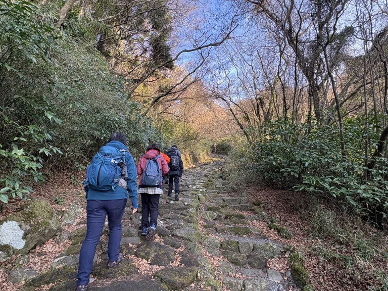
Kyoto’s hills are one chapter of our 14-day journey along Japan’s timeless trails — a route that pairs the icons of Tokyo, Hakone, and Kyoto with the quiet paths behind them, guided from start to finish, from ¥1,114,900:
And if you want the full picture of the trail — from the icons to the corners even locals forget — start with our series overview:
Frequently Asked Questions
How long is the Kyoto Isshu Trail?
In its longest reckoning the full circuit runs roughly 135 kilometers around the city, but almost nobody walks it end to end. It is designed to be enjoyed as day sections, each reachable by city bus or train. The real pleasure is linking Kyoto’s famous sights on foot — and because the distances are short, you can always drop back down to the valley and bail out if you tire.
Is the trail well signposted?
Yes — numbered bollards mark the route and the distances. That said, the junctions in the northern mountains can be confusing, and several of the best detours — hidden shrines, viewpoints, teahouses — are not signed at all.
Which section is best for a first-timer?
For the classic city panorama in a half day, walk Keage to Mt. Daimonji. If you want to begin at the famous torii gates of Fushimi Inari and walk out of the crowds within about twenty minutes, take the Fushimi–Kiyomizu section.
Do I need a guide for the Kyoto Isshu Trail?
Not for navigation on the main sections. Where a guide changes everything is the context — the mountain ascetics of Mt. Hiei, the tengu legends of Kurama, shrine etiquette, and the detours that turn a hike into a day you will still be talking about years later.